5 Best Barbados Snorkeling Spots You Can Reach From the Beach (No Boat Needed)
Most visitors assume they need a catamaran to see the marine life in Barbados. You do not. The island has several nearshore reefs and shallow shipwrecks. They are accessible directly from the sand without paying for a boat tour. The leeward west and southwest coasts have calm water and high visibility. You just need your own mask and fins.
Understanding the seasonal cycles is vital before you pack your gear. You can check our guide on the best time and weather for snorkelling to match your trip with peak visibility. The dry season brings the flattest seas to the Caribbean side of the island. You will find the best conditions between December and April.
1. Carlisle Bay: The Sunken Fleet
Carlisle Bay is in St. Michael Parish. The seabed holds six shipwrecks. The Berwyn, Bajan Queen, Cornwallis, Barge, C-Trek, and Eilon sit on the white sand. They are clustered together less than 200 metres from the shoreline. The wrecks rest at depths between 3 and 17 metres. The Berwyn sits in just 6 metres of water. You can see the deck clearly from the surface.
This is the most popular snorkelling location on the island. The official Visit Barbados registry lists this area as a protected marine park. You swim straight out from the beach to find the wrecks. The Bajan Queen was a former party cruise vessel. It now sits upright on the ocean floor. The Cornwallis is a Canadian freighter. It was relocated to this bay to form an artificial reef.
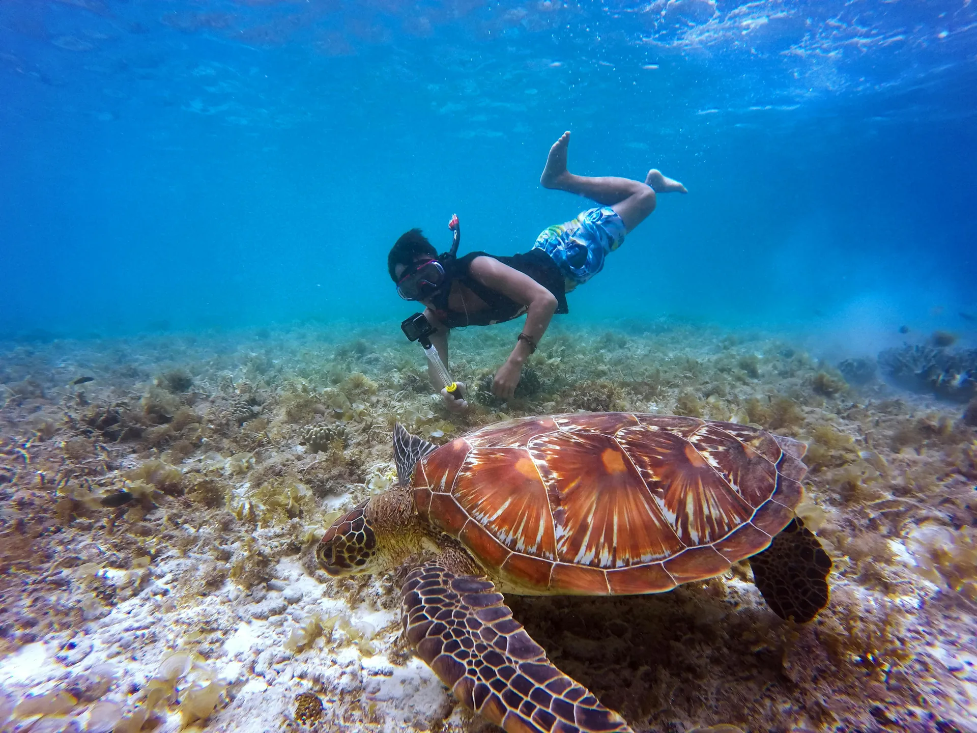
The C-Trek is a derelict cement boat. The Eilon is a drug-smuggling freighter seized by the coast guard. They rest close together. You can swim from one hull to the next in less than thirty seconds. Turtles swim among the rusted iron structures. You will see sergeant majors and parrotfish swarming the upper decks. You can read our full guide to Carlisle Bay shipwrecks for detailed coordinates and entry points.
2. Folkestone Marine Park: Protected Reserve
Folkestone Marine Park is in St. James Parish. This 2.2 square kilometre marine reserve has an inshore snorkel trail. It starts exactly 10 metres from the shoreline. The bathymetry ranges from 1.5 to 9 metres deep. The trail is marked by surface buoys. The buoys mark the designated swimming zone you should stay inside of. Researchers from the nearby Bellairs Research Institute monitor the coral health in this sector.
The visitor centre has a small aquarium and a museum. The public facilities include freshwater showers and lockers. The snorkel trail guides you over brain coral and sea fans. You will see blue tangs and trumpetfish. The reef drop-off is sharp. The water clarity is excellent during the morning hours. The current picks up slightly in the late afternoon.
3. Paynes Bay: Calm Waters
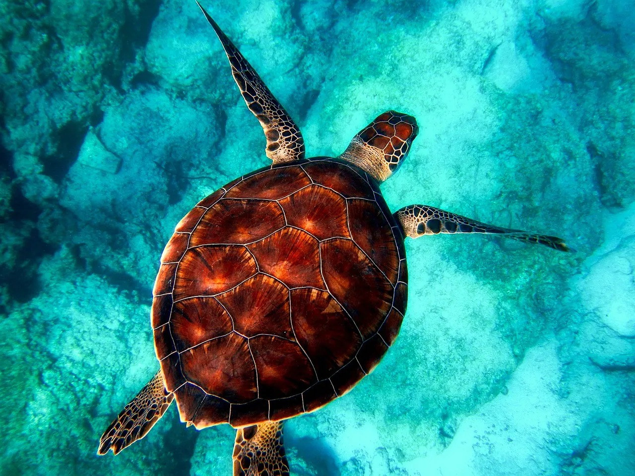
Paynes Bay is in St. James Parish. Hawksbill and Green turtles congregate approximately 100 yards from the shoreline. The waters are exceptionally calm and flat. It is ideal for shore access without a boat. Parking is limited on the main highway. You should arrive before 8:00 AM.
The sea is completely flat in the early morning. You can usually spot teh dark shapes of turtles against the white sand bottom. Catamarans arrive around 10:30 AM to feed the marine life. You can swim out before the boats drop their anchors. The turtles are accustomed to human presence. You should review the rules for swimming responsibly with hawksbills before you enter the water.
4. Batts Rock Beach: Rocky Habitats
Batts Rock Beach is in St. Michael Parish. It has rocky sections that provide shelter for small fish. The water has high visibility in shallow 1.5 to 5-metre depths. It is a designated Hawksbill turtle nesting beach. The Barbados Sea Turtle Project actively patrols this stretch of sand during the summer months.
The beach is backed by a dense wooded area. It is a popular spot for local families on weekends. The rocky outcrops at the northern end hold the most marine life. You will find moray eels hiding in the limestone crevices. You can see juvenile damselfish and sea urchins in the shallows. The sand is soft. The entry is gradual.
5. Mullins Beach: The Horseshoe Bay
Mullins Beach is in St. Peter Parish. The entry is sandy and remains waist-deep for the first 50 feet. The horseshoe-shaped bay blocks strong Caribbean swells. Access to the sand requires navigating steep stone stairs due to recent coastal erosion. The Barbados.org coastal management updates note that the beach profile shifts heavily with the winter swells.
The steep stone stairs require careful footing. The water is exceptionally clear. The horseshoe shape of the bay provides natural protection from the wind. You can find parking across the street near the beach bar. The rocky outcrops on the southern edge attract schools of flying fish and needlefish.
Comparison of Shore Distances
You can use this table to determine how far you need to swim to reach the primary reef or shipwreck structures at each beach.
| Location | Parish | Distance to Reef/Wrecks | Max Depth |
|---|---|---|---|
| Carlisle Bay | St. Michael | 200 metres | 17 metres |
| Folkestone Marine Park | St. James | 10 metres | 9 metres |
| Paynes Bay | St. James | 100 yards | Variable |
| Batts Rock Beach | St. Michael | Shoreline rocks | 5 metres |
| Mullins Beach | St. Peter | 50 feet (shallows) | Variable |
Recommended Guided Tours
Some travellers prefer a structured excursion. You can book the Barbados Catamaran Turtle and Shipwreck Snorkeling Cruise. It covers multiple bays in a single afternoon and includes lunch. Another option is the 2 Hours Turtle Feeding, Shipwreck & Reef Snorkeling Tour. Both options depart near Bridgetown. You can find more alternatives on our guided tours and lessons page.
Gear and Safety Reminders
You must bring your own mask, snorkel, and fins. We strongly recommend a high-visibility surface marker buoy. Boat traffic is heavy near Carlisle Bay and Paynes Bay. Jet skis operate close to the swimming zones. You can check our equipment and safety guide for a complete list of required gear. A rash guard provides protection from the sun and minor jellyfish stings.
You should never touch the coral reefs. The polyps are fragile. Sunscreen chemicals damage the local ecosystem. You must use reef-safe sun protection before entering the water at any of these locations. You can explore a complete directory of the island’s underwater locations on our best spots for snorkelling map.